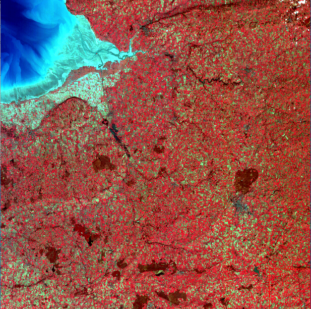
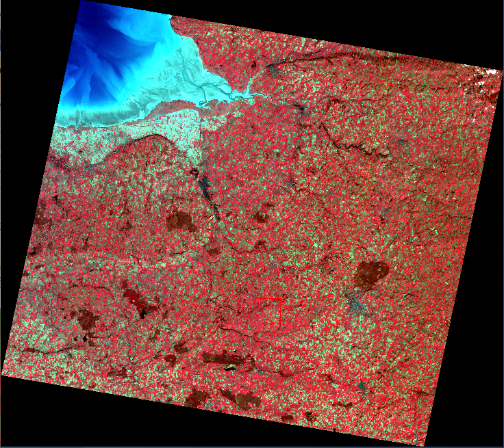
An easy way to handle raw geometry of Spot World Heritage products

Projecting SPOT World Heritage 1A products on Earth from Level 1A to Level 2A Carto

On board geometry

Cartographic projection
+ Supermode SPOT5
SPOT 1A product DIMAP format (xml + GeoTiff)
SPOT 2A-Carto product DIMAP format (xml + GeoTiff)
The SPOT World Heritage (SWH) programme is a CNES initiative to open the SPOT 1-to-5 archive to users.
SWH data are available at Level 1A from REGARDS catalogue. In order to be in line with L1C Sentinel 2 products, the SWH-2A-Carto service has been developed to enhance in a fast way the SWH-1A into equivalent L1C products (without refining), called SWH-2A-Carto.
Note: pre-processed orthorectified multispectral SWH products over France, North, West and Central Africa are directly accessible via Theia portal.

